••
Ghana Geospatial Society inducts 50 specialists at UCC conference
•2 min read•1 source
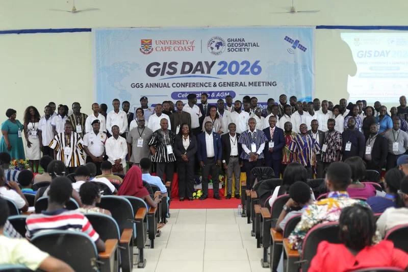
The Ghana Geospatial Society (GGS) has successfully held its 2026 Annual Conference at the University of Cape Coast (UCC), highlighting the critical role of spatial data in national development. Organized in partnership with UCC’s Department of Geography and Regional Planning and the Africa Ocean Institute, the two-day event held from November 18-19 focused on the theme "Geospatial Intelligence for a Resilient Ghana." The conference served as a primary platform for experts to advocate for increased investment in technology that supports urban planning and disaster management.
A major highlight of the gathering was the formal induction of 50 new GeoSpecialists into the society, marking a significant boost for professional standards and technical capacity in the sector. Attendees also reviewed a new digital emergency response dashboard, designed to streamline how authorities react to crises across the country using real-time spatial information. Participants explored how geospatial intelligence can be leveraged to tackle pressing issues such as climate resilience and environmental degradation, emphasizing that data-driven decisions are essential for Ghana’s long-term stability.
Speakers at the event underscored the need for a robust national spatial data infrastructure through deeper collaboration between academia, the government, and the private sector. There was a unified call for improved data-sharing protocols to prevent the duplication of efforts and to make high-quality spatial information more accessible to policy-makers. By investing in geospatial training and modern infrastructure, stakeholders argued that Ghana can better manage its rapid urban growth and more effectively mitigate the impacts of natural disasters.